Mulhacén over two days: route, refuge and what to eat
The park’s summer shuttle from Capileira leaves you 7.3 km below the highest summit in the Iberian Peninsula. Without it, or with a night at Refugio Poqueira, the day changes shape, and so does what goes in the rucksack.
By STOCKUP · Updated
In this guide (6)
The official routes, in figures
The route1
- Start
- Paraje del Cascajar (2,574 m), where the park’s leaflet ends the south-side shuttle from Capileira
- Distance
- 7.3 km one way
- Walking time
- 2 h 30 min one way
- Water
- Carry all of it: the park advises against drinking from streams
- When to go
- The shuttle runs in summer and autumn
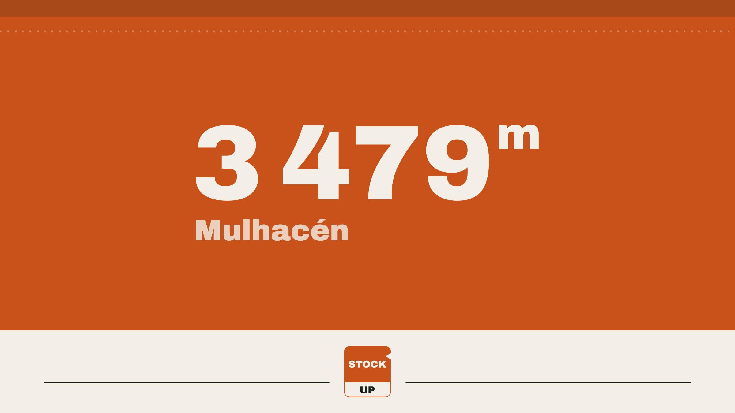
These figures come from the leaflet of the park’s high-summits shuttle, the Servicio de Interpretación de Altas Cumbres.1 Mulhacén is 3,479 m by the survey of the IGN, Spain’s national mapping agency: the highest point of the Iberian Peninsula.2 By the Refugio Poqueira, the same walk is 9.9 km, with the refuge at 5.5 km.1
The one signposted trail with a sheet of its own is Hoya del Portillo to the Refugio del Poqueira: 8.3 km and two to three hours one way, rated media (moderate) by the Junta de Andalucía, with no permit needed.3 Hoya del Portillo, at 2,150 m, is about 11 km above Capileira on the old Sierra Nevada road, with parking by the barrier;3 beyond it the track is for park staff, owners and authorised vehicles only.4
One day or two
In a day, with the shuttle. The south-side bus leaves from beside the park’s information point in Capileira and climbs past Hoya del Portillo to the Cascajar, by the leaflet.1 From there it’s 7.3 km to the top and the same back. It runs in summer and autumn only, and the park may suspend or change it without notice when the weather calls for it.5 Book on 671 56 44 06 or at ecoturismoandaluz.com,6 and ask where it stops and when the last bus comes down.
In a day, on foot. From Hoya del Portillo it’s 8.3 km to the refuge, 4.4 km more to the summit (the leaflet’s 9.9 km less its 5.5), and all of it back: about 25 km, from 2,150 m to 3,479 m and down.31 No official sheet times that day, so plan it from your own pace and the hours of light.
In two days. Walk up to the refuge on the first. On the second, the summit is 4.4 km from your bed; then back past the refuge and down to the car, about 17 km in all.
The refuge: how to find out, and what to do if it’s shut
Refugio Poqueira stands at about 2,500 m, at the end of the Hoya del Portillo trail.3 Its operator lists 100 places.7 Whether it’s staffed on your dates is a question for the phone: 958 34 33 49.8 Also read the park’s weekly safety sheet, the ficha de seguridad: it lists each refuge, gives Poqueira’s unstaffed vivac area and its staffed part separately, and names the trails closed that week.9
If the staffed part is shut: do the summit in a day with the shuttle; use the vivac area, if the week’s sheet lists it as open, with everything you’d need to sleep out; or bivouac on the park’s conditions, below.
Carry the water
The Junta’s trail sheet asks you to carry water and not to drink from the streams and gullies, because of the livestock and ibex that use them.3 Everything comes up from the car. FEDME, Spain’s mountaineering federation, puts the minimum at 1.5 litres a person a day, and a good deal more in heat.10
For longer trips, food for a multi-day hike does these sums by the day.
What the national park forbids
Free camping isn’t permitted anywhere in the Sierra Nevada national or natural park.11 A bivouac is another matter. The park’s plan, Decreto 238/2011, allows a night in the open or in a light tent on a mountain traverse after a prior communication to the park, for groups of fewer than 15 with fewer than three tents; bigger groups need an authorisation.12 The tent goes up no earlier than an hour before sunset and comes down by an hour after sunrise, never within 2 km of a village, tourist accommodation or a refuge unless the refuge is full, and the rubbish goes home with you.12
Nor spend more than one night in the same place.
In the original: ni pernoctar más de una noche en el mismo lugar
The park’s visitor leaflet gives other distances (500 m from staffed refuges, 50 m from lakes and streams) and no bivouac in woodland from 1 June to 15 October,11 so ask the public-use office, 958 98 02 46, before you send the communication.9
Fire is the shorter rule. The national park’s plan allows it only in places set up and signposted for it,4 Andalusia bans fire to prepare food on forest land from 1 June to 15 October,13 and the trail sheet says “No se permite encender fuego”: no fires.3 The stove stays at home, as on the lower hikes near the coast: the Torrecilla hike, Los Reales de Sierra Bermeja and La Concha from Refugio de Juanar.
Food for one day, and for two
With no stove, lunch is made with cold water. Most of our Large pouches can be, in 20–30 minutes depending on the meal; Porcini Mushroom Risotto and Mashed Potato need hot water and stay at home. Made cold, meat and potato keep a little more bite and some liquid may stay in the pouch: stir it through. Water from a vacuum flask filled at breakfast has cooled by lunch, so give the pouch longer than its hot time. The times, pouch by pouch, are in freeze-dried meals with cold water.
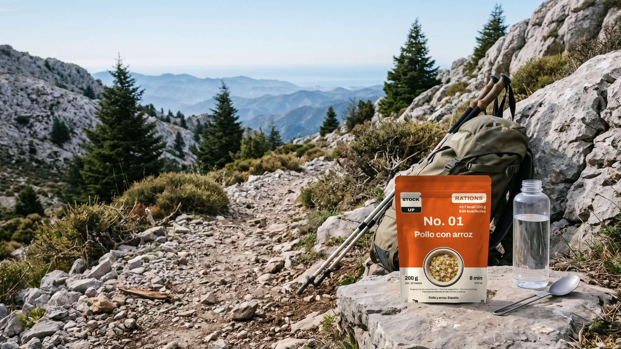
For the summit in a day: Chicken & Rice, 834 kcal, made with cold water in about 20 minutes, and a bag of Strawberries for the climb, which needs no water.
For two days, four pouches: Thai Beef & Prawn Noodle Salad for the first lunch, a salad meant to be eaten cold, in about 20 minutes; Lentil & Vegetable Stew for dinner; Porridge & Fruit in the morning; Chicken & Rice at the top.
| Pouch | Net weight | Water | Cold water | Energy |
|---|---|---|---|---|
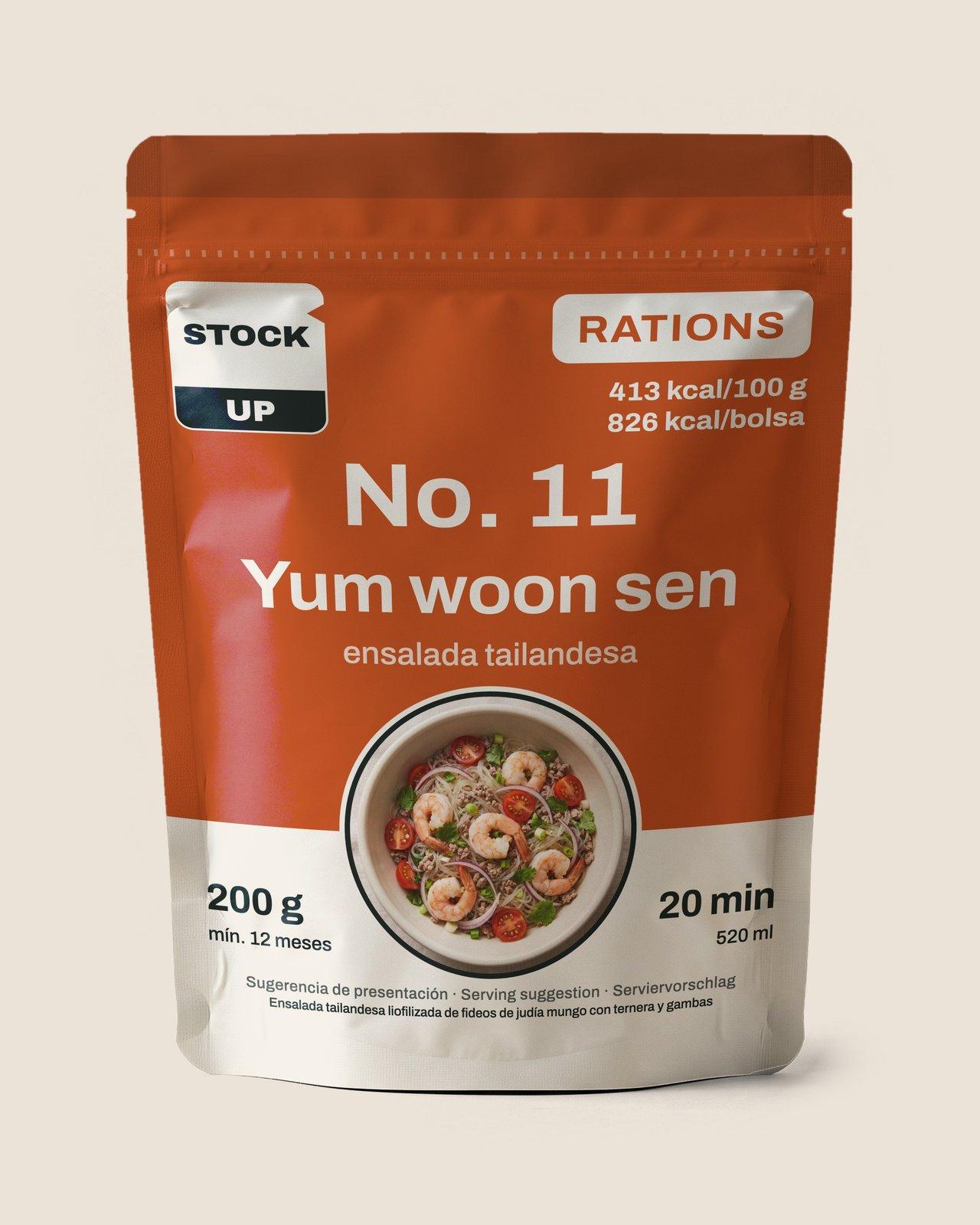 Thai Beef & Prawn Noodle SaladLarge | 200 g | 520 ml | about 20 min | 826 kcal |
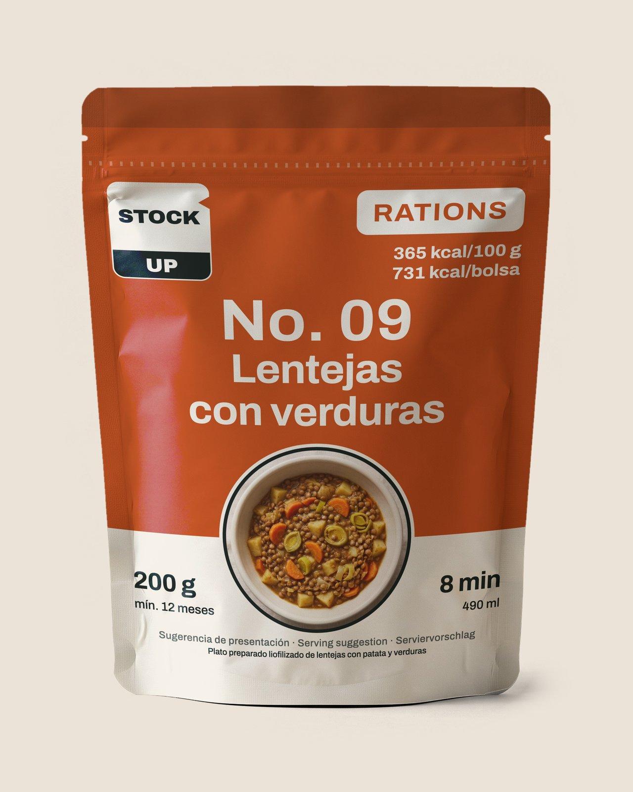 Lentil & Vegetable StewLarge | 200 g | 490 ml | about 30 min | 731 kcal |
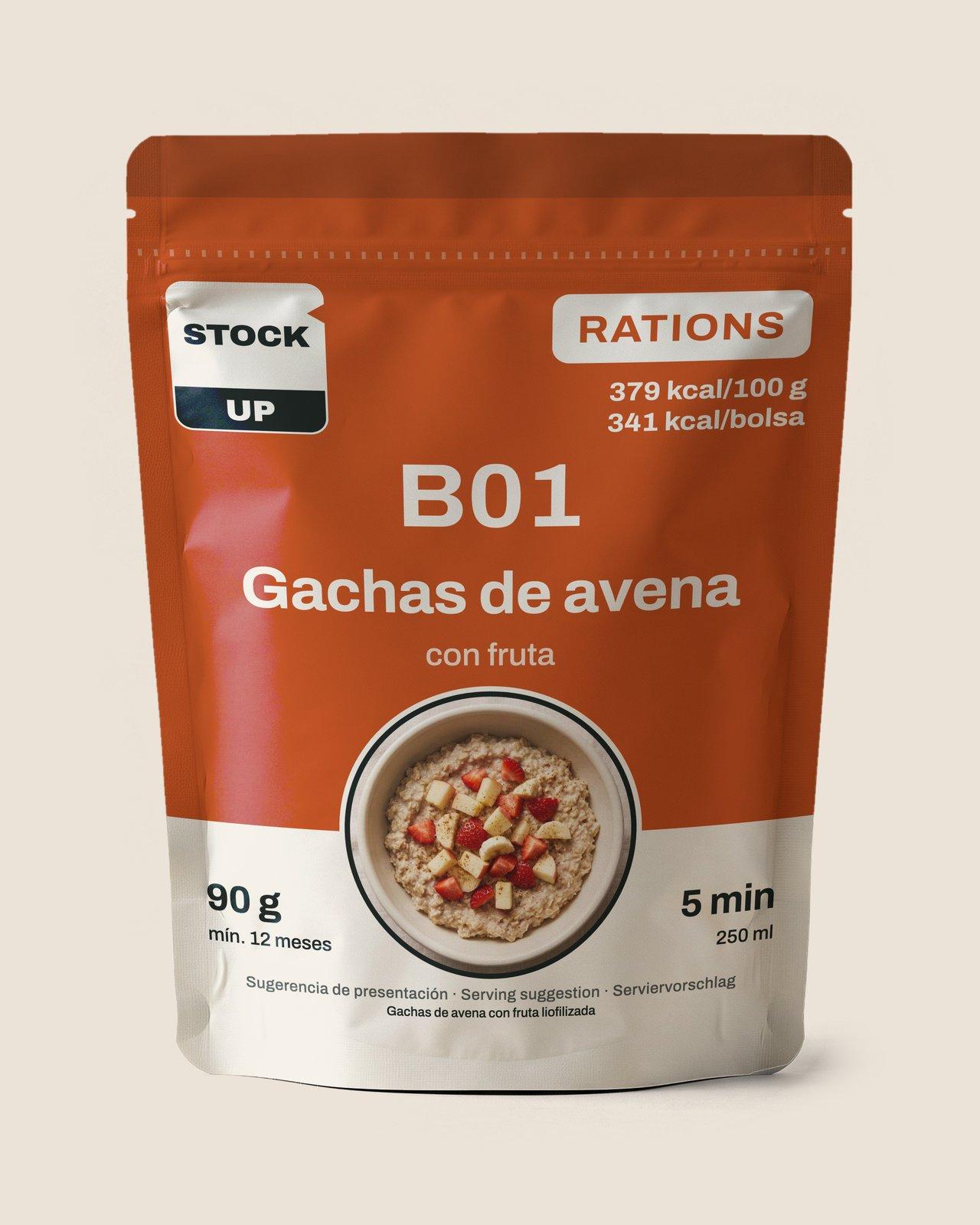 Porridge & Fruit | 90 g | 250 ml | about 20 min | 341 kcal |
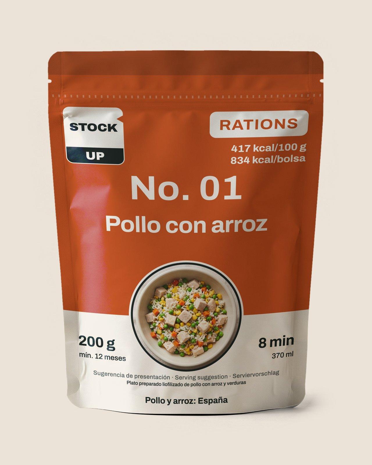 Chicken & RiceLarge | 200 g | 370 ml | about 20 min | 834 kcal |
Two days on Mulhacén: weight, water, cold-water time and energy
- Thai Beef & Prawn Noodle SaladLarge
- Net weight
- 200 g
- Water
- 520 ml
- Cold water
- about 20 min
- Energy
- 826 kcal
- Lentil & Vegetable StewLarge
- Net weight
- 200 g
- Water
- 490 ml
- Cold water
- about 30 min
- Energy
- 731 kcal
- Porridge & Fruit
- Net weight
- 90 g
- Water
- 250 ml
- Cold water
- about 20 min
- Energy
- 341 kcal
- Chicken & RiceLarge
- Net weight
- 200 g
- Water
- 370 ml
- Cold water
- about 20 min
- Energy
- 834 kcal
If the water you carried up is close to freezing, give each pouch a few minutes more.
From our range
One-Day Ration
Sources
Accessed 10 November 2026
- Servicio de Interpretación de Altas Cumbres (opens an external website)
- Reseña del vértice geodésico 102763, Mulhacén I (opens an external website)
- Sendero Hoya del Portillo–Refugio del Poqueira (opens an external website)
- Plan Rector de Uso y Gestión del Parque Nacional de Sierra Nevada (opens an external website)
- Servicio de interpretación de las altas cumbres (opens an external website)
- Sierra Nevada (opens an external website)
- Instalaciones (opens an external website)
- Refugio Poqueira (opens an external website)
- Ficha de seguridad/información (opens an external website)
- Iniciarse al senderismo (opens an external website)
- Información sobre acampada (opens an external website)
- Plan de Ordenación de los Recursos Naturales de Sierra Nevada (opens an external website)
- Limitaciones de usos y actividades en terrenos forestales (opens an external website)
- Predicción montaña: Sierra Nevada (opens an external website)
- Hoya del Portillo–Refugio del Poqueira (opens an external website)
Hear from us before the shop opens
Leave your email. After a quick confirmation you get a welcome, a couple of short notes about our food and one email the day ordering opens. Nothing else.