La Concha from Refugio de Juanar: time, water and food
From the hotel at Juanar it’s 45 minutes up to the Sierra Blanca ridge and two more hours along it to La Concha, past a pass the trail sheet calls perhaps the hardest of the route.
By STOCKUP · Updated
In this guide (6)
The route, in official figures
The route1
- Start
- The gate on the track above the Hotel Refugio de Juanar, Ojén
- Distance
- 5.2 km one way
- Ascent
- 365/525 m, as the sheet prints its “desnivel máximo”
- Walking time
- 3 h one way
- Water
- Carry all of it from Juanar
- When to go
- Any time but summer, autumn above all
These are the figures of the PR-A 168, Cortijo de Juanar to Pico de La Concha, from the 2011 walking guide of the Mancomunidad de Municipios de la Costa del Sol Occidental, the joint body of the western Costa del Sol’s town halls.1 The sheet rates it moderate, with the difficulty of any mountain route.1
It comes in two parts. First about 2 km and 45 minutes from Juanar up to the Sierra Blanca ridge: the steepest climb of the day, on well-signed paths with good footing. Then about 3.2 km and two hours along the ridge to La Concha, on a path that is very stony in places and sometimes disappears.1 There and back, that’s 10.4 km and six hours of walking by the sheet’s own times, before any stop at the top.
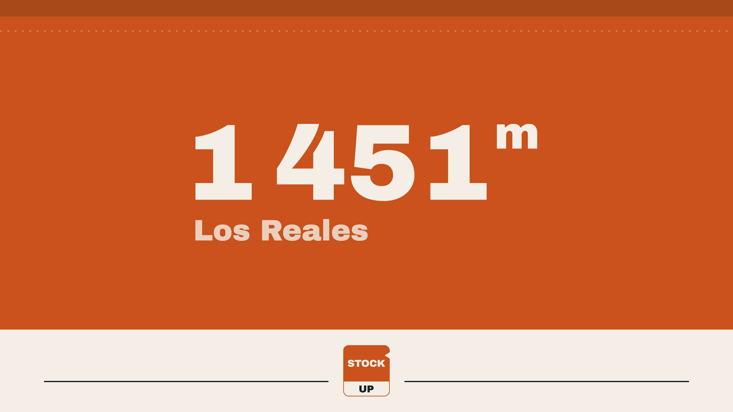
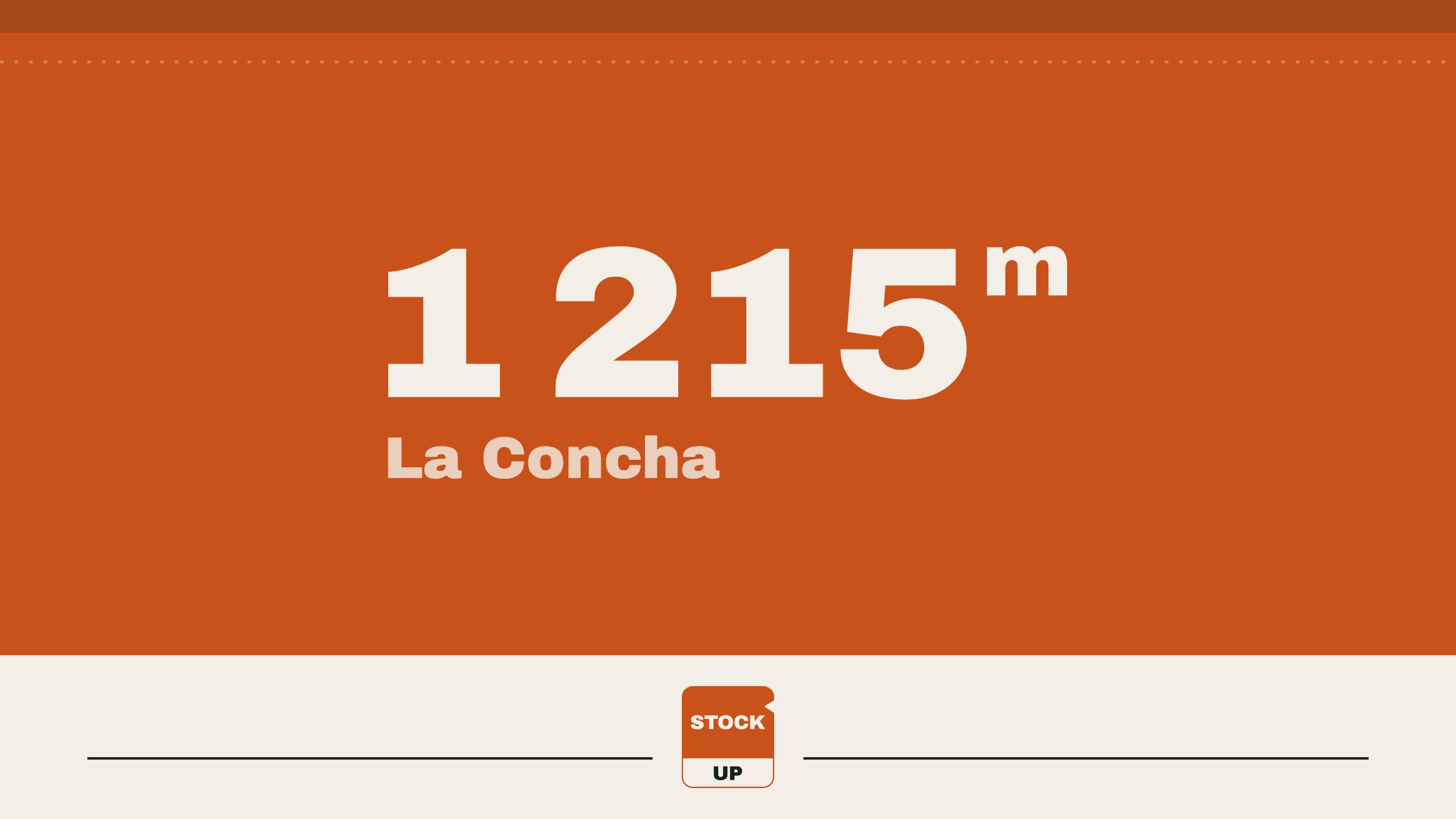
La Concha is 1,215 m by the survey of the IGN, Spain’s national mapping agency.2 It isn’t the highest point of the ridge: the path passes Lastonar, 1,279 m on the same sheet.1
The other official way up, the PR-A 135 from Istán, is a harder day: 5 km and three and a half hours one way, 845 m between its lowest and highest points, rated very hard and meant for fit, experienced walkers. Its sheet warns that reaching the summit is only half the day.3
The exposed section, and when to turn back
The sheet names the hard part. It calls the Salto del Lobo perhaps the most difficult pass on the route: cross it with care, on the right-hand side, because in places it gains some height.1 Past the slopes of Lastonar the ridge narrows and, in the guide’s English edition, the path becomes “a more ‘aerial’ track, where special care is recommended”.1 The IGN’s notes for its surveyors speak of quite complicated passes, say someone who knows the way is essential, and count no less than four hours to the top from an abandoned house up the track.2
For the harder climb from Istán, the Mancomunidad’s advice is a spring day with long daylight, good visibility and time in hand for the return,3 and for its other mountain route, up Los Reales, it says that in fog turning back is often the wise choice.4 Whatever time you reach the top, the two hours of ridge are still ahead of you.
Getting to Juanar
From Ojén, take the A-7103, then the A-355 towards Monda, and turn left onto the MA-5300, signposted for the Refugio del Juanar.5 The turn-off is at km 23.8 of the A-355.6 The Refugio de Juanar is a hotel in the hills, built on the old Palacio del Juanar,5 not a mountain hut.
The 2011 sheet says to leave the car at the hotel or a little higher, where a gate closes the track to cars, then walk up the track to the Cortijo de Juanar, which it describes as a game research centre.1 Without a car, the Junta’s sheet suggests the bus to Ojén and a taxi from there.5
Water: carry it
Everything you drink and everything lunch needs starts at Juanar: the official descriptions of the route name no spring or tap, and the Junta de Andalucía’s page for Juanar says to bring water.6 FEDME, Spain’s mountaineering federation, sets the minimum at 1.5 litres a person a day, more in summer;8 the Mountaineering Council of Scotland’s safety adviser put it at about 2 litres for a six- to eight-hour hill day,9 which is the length of this one.
Rules and season
The Junta’s sheet for the neighbouring El Juanar–Puerto Marbella trail lists the rules: no fires, no free camping, no catching animals, no picking plants, keep to the marked paths and take your rubbish to the bins.5 Andalusia allows fire to prepare food only in places built for it, all year, and from 1 June to 15 October bans it on forest land and in the 400 m around it.1011 Leave the stove at home. With a game research centre at the start, the Junta’s advice to check for hunting before you go applies here too.6
The mountain is part of the Sierra Blanca Special Area of Conservation, a Natura 2000 site of about 6,500 hectares across Istán, Marbella, Monda and Ojén.12 To check for closures, start with the Junta’s visitor page for El Juanar.6
The Mancomunidad’s season is any time but summer, autumn above all; for the Istán route it gives autumn, winter and spring.13 AEMET, Spain’s weather service, has no mountain forecast for Sierra Blanca: read its forecast for Ojén, which the Junta’s page also carries.136
Lunch on the ridge
With no stove, lunch is made with cold water. Most of our Large pouches can be, in 20–30 minutes depending on the meal; Porcini Mushroom Risotto and Mashed Potato need hot water and stay at home. Thai Beef & Prawn Noodle Salad, a salad meant to be eaten cold, takes about 20 minutes: add the water as you reach the top. Chicken & Rice is the other choice, about 20 minutes with cold water; made that way, meat keeps a little more bite and some liquid may stay in the pouch, so stir it through.
For the climb itself, a bag of Strawberries eaten dry needs no water at all. The times, pouch by pouch, are in freeze-dried meals with cold water. The same water sums apply to Los Reales de Sierra Bermeja, the Torrecilla hike and Mulhacén over two days.
| Pouch | Net weight | Water | Energy |
|---|---|---|---|
 Thai Beef & Prawn Noodle SaladLarge | 200 g | 520 ml | 826 kcal |
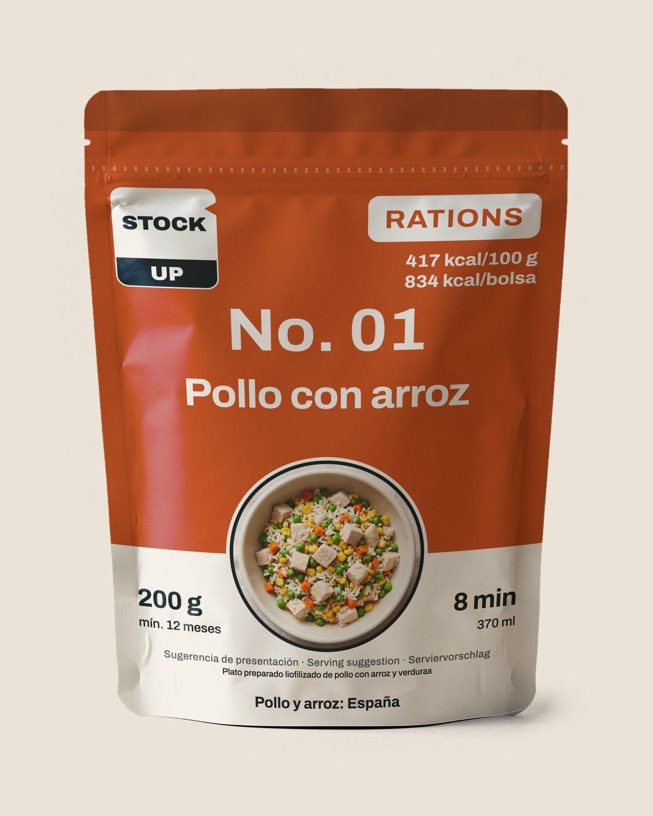 Chicken & RiceLarge | 200 g | 370 ml | 834 kcal |
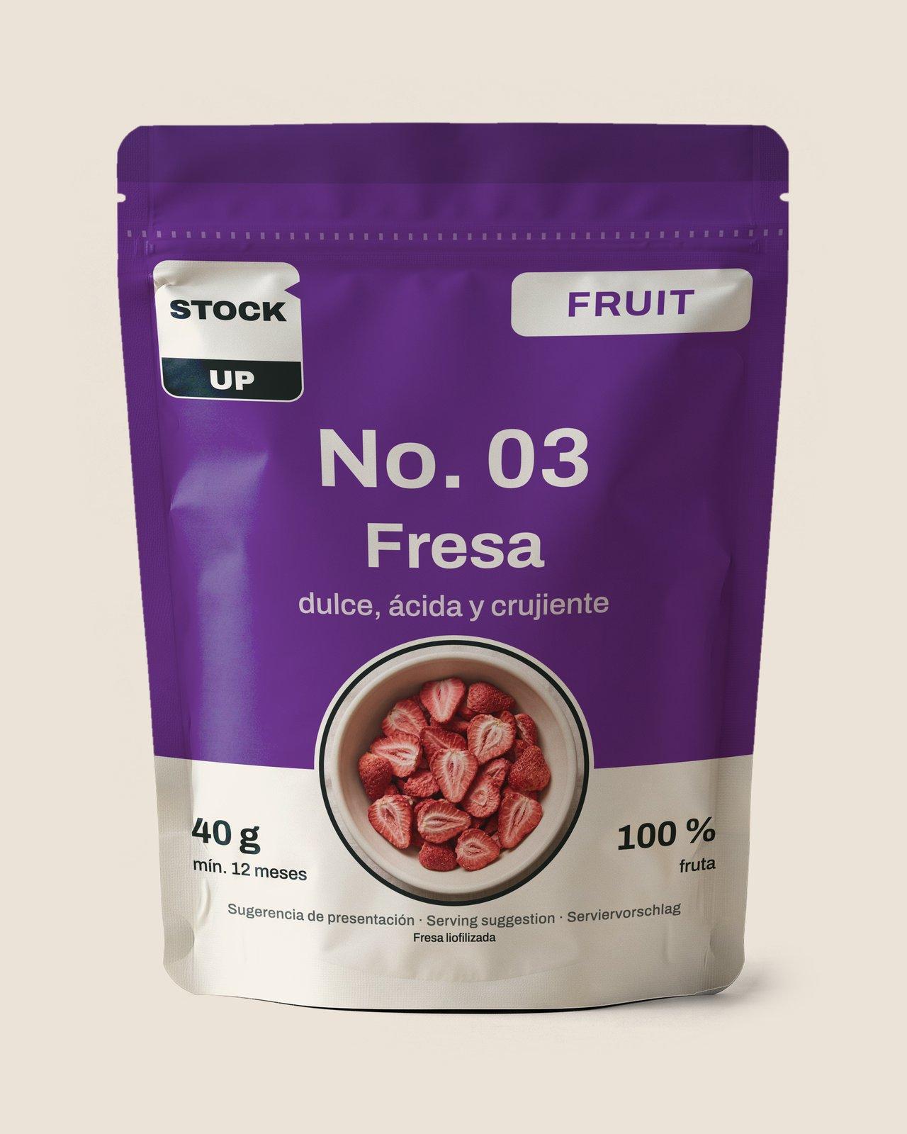 Strawberries | 40 g | Eaten dry | 138 kcal |
Lunch on the ridge: weight, water and energy
- Thai Beef & Prawn Noodle SaladLarge
- Net weight
- 200 g
- Water
- 520 ml
- Energy
- 826 kcal
- Chicken & RiceLarge
- Net weight
- 200 g
- Water
- 370 ml
- Energy
- 834 kcal
- Strawberries
- Net weight
- 40 g
- Water
- Eaten dry
- Energy
- 138 kcal
The empties go back down to Juanar with you.
From our range
Thai Beef & Prawn Noodle SaladLarge
Sources
Accessed 10 November 2026
- PR-A 168 · Cortijo de Juanar - Pico de La Concha (opens an external website)
- Reseña del vértice geodésico 106573, La Concha (opens an external website)
- PR-A 135 · Istán - Pico de La Concha (opens an external website)
- PR-A 164 · Estepona - Los Reales (opens an external website)
- Sendero El Juanar–Puerto Marbella (opens an external website)
- El Juanar–Puerto Marbella (opens an external website)
- Red de senderos · Cara sur de Sierra Blanca · Marbella (opens an external website)
- Iniciarse al senderismo (opens an external website)
- Mountain expert warns walkers of dangers of dehydration (opens an external website)
- Reglamento de Prevención y Lucha contra los Incendios Forestales (opens an external website)
- Limitaciones de usos y actividades en terrenos forestales (opens an external website)
- ZEC Sierra Blanca (ES6170011) (opens an external website)
- Predicción para Ojén (opens an external website)
Hear from us before the shop opens
Leave your email. After a quick confirmation you get a welcome, a couple of short notes about our food and one email the day ordering opens. Nothing else.