Los Reales de Sierra Bermeja: the hike above Estepona
Eight kilometres from the sea above Estepona, a dark rock called peridotite rises to 1,451 m, and on it grow pinsapo firs found on no other peridotite. The signposted paths are short; the long way up starts at the town’s cemetery.
By STOCKUP · Updated
In this guide (6)
The signposted trails, in figures
The route1
- Start
- Beside the summit of Los Reales, at the top of the asphalt track from Puerto de Peñas Blancas
- Distance
- 1.8 km one way, down to the Plazoleta de Genalguacil
- Ascent
- 306 m between the highest and lowest points
- Walking time
- 45 min one way
- Water
- Carry drinking water, the sheet says
Los Realillos is the summit path of the Junta de Andalucía, the regional government: linear, rated media (moderate), with frequent shade and no permit needed.1 It starts beside the summit, 1,451 m by the survey of the IGN, Spain’s national mapping agency,2 and runs downhill to the Plazoleta de Genalguacil, so the walk back to the car is the same path uphill: 3.6 km there and back, with the 306 m to climb on the return. Those are the 2022 sheet’s figures; older Junta pages give 1.7 km and up to an hour.34
The Paseo de los Pinsapos is the gentle one: 2.8 km and an hour one way, rated baja (easy), with abundant shade on the north face.5 It starts at a sharp bend about 2 km up the track from Peñas Blancas and runs downhill past the Plazoleta de Genalguacil, where a ceramic wall carries a 1919 poem by Federico García Lorca, to a forest track near a road.5 Downhill out means uphill back: 281 m between its highest and lowest points.5 For a quarter of an hour’s stroll, the Mirador de Salvador Guerrero is 400 m from its own car park.6
The full-day route is the PR-A 164, signposted by the Mancomunidad de Municipios de la Costa del Sol Occidental, the joint body of the western Costa del Sol’s town halls, from Estepona’s new cemetery to the top: 6,900 m and four hours one way, 1,370 m between its lowest and highest points, rated alta (hard) in its 2011 walking guide.7 The first hour, under 2 km to a clay-pigeon range, suits anyone. The three hours above it are for walkers with mountain experience: partly off any path, waymarked with paint on stones and pylons, and hard going in fog.7 The sheet suggests arranging a lift down from the refuge near the top.7
Getting to the start
From Estepona, take the road towards Jubrique up to the Puerto de Peñas Blancas, about 15 km.2 The Junta’s trail sheets number it MA-557, its viewpoint sheet MA-8301, and at the pass the Paraje Natural is signposted to the left.16 From there a narrow asphalt track climbs to Los Reales; the Junta describes it as in poor condition on its final stretch.3 The Pinsapos start is at the bend after about 2 km,5 the clearing with the refuge 4.4 km up.2
Neither the Realillos nor the Pinsapos start has a car park, only room for about three cars each; the Salvador Guerrero viewpoint has one.356 Buses go as far as Estepona and no further.3
Water: what you carry
The sheets name no spring or tap on these paths or at the recreation area: bring drinking water from the car, as the Realillos sheet asks.1 FEDME, Spain’s mountaineering federation, puts the minimum at 1.5 litres a person a day, and a good deal more in summer.8
A protected area: what is not allowed
Every Junta sheet for these paths lists the same rules: no fires, no picking plants, no catching animals, no taking rocks, minerals or fossils, keep to the marked path and take your rubbish to the bins.1 Andalusia allows fire to prepare food only in places built for it, all year, and from 1 June to 15 October bans it outright on forest land and in the 400 m around it, picnic areas included.910 The stove stays at home.
The Junta’s pages ask you to check for hunting before you go.4 For a closure, the state of the track or a night out, ask the Junta’s office in Málaga, on the number the 2022 sheet gives: 607 948 894.1
The pinsapo, the Spanish fir, is the reason for the Paraje Natural. Here it grows on peridotite, a dark rock that rises to 1,451 m only 8 km from the sea, and this is its only population on that rock: about 90 hectares in four patches.16 The 2021 Los Reales fire reached the old stands only at their edges; the young pinsapos growing under the pines took the worst of it, by the Junta’s 2022 summary.11
When to go
The Mancomunidad’s sheet recommends any season except summer at the hours of strongest sun.7 Cloud rising up the slope or thick fog often covers the summits, the Junta’s viewpoint sheet warns.6 AEMET, Spain’s weather service, has no mountain forecast for Sierra Bermeja; read its seven-day forecast for Estepona, or the one for Genalguacil that the Junta’s trail pages carry.124 Nearby, La Concha from Refugio de Juanar is a ridge walk above Marbella and the Torrecilla hike covers the Sierra de las Nieves; higher still, Mulhacén over two days takes a night on the mountain.
What to pack for a half day
The summit path and the pinsapos are each a morning and need no pouch. A bag of fruit and your water do it: Strawberries or Mango, eaten dry from the bag, with no water of their own. If it’s new to you, freeze-dried fruit explains what it is.
The PR-A 164 means four hours up and lunch at the top. Thai Beef & Prawn Noodle Salad, a salad meant to be eaten cold, takes about 20 minutes with cold water. Most of our Large pouches can be made cold, in 20–30 minutes depending on the meal; Porcini Mushroom Risotto needs hot water, so leave it for home. Cold, meat keeps a little more bite and some liquid may stay in the pouch: stir it through. The times, pouch by pouch, are in freeze-dried meals with cold water.
| Pouch | Net weight | Water | Energy |
|---|---|---|---|
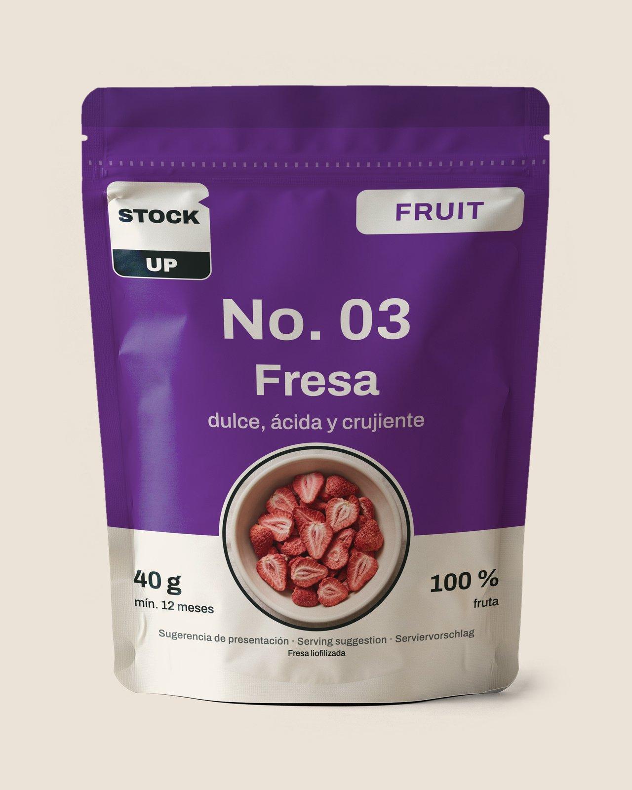 Strawberries | 40 g | Eaten dry | 138 kcal |
 Mango | 40 g | Eaten dry | 149 kcal |
 Thai Beef & Prawn Noodle SaladLarge | 200 g | 520 ml | 826 kcal |
A morning and a long day: weight, water and energy
- Strawberries
- Net weight
- 40 g
- Water
- Eaten dry
- Energy
- 138 kcal
- Mango
- Net weight
- 40 g
- Water
- Eaten dry
- Energy
- 149 kcal
- Thai Beef & Prawn Noodle SaladLarge
- Net weight
- 200 g
- Water
- 520 ml
- Energy
- 826 kcal
The empty bags go down with you.
From our range
Strawberries
Sources
Accessed 10 November 2026
- Sendero geológico Los Realillos (opens an external website)
- Reseña del vértice geodésico 107199, Reales (opens an external website)
- Sendero Los Realillos (opens an external website)
- Los Realillos (opens an external website)
- Sendero Paseo de los Pinsapos (opens an external website)
- Sendero Mirador de Salvador Guerrero (opens an external website)
- PR-A 164 · Estepona - Los Reales (opens an external website)
- Iniciarse al senderismo (opens an external website)
- Reglamento de Prevención y Lucha contra los Incendios Forestales (opens an external website)
- Limitaciones de usos y actividades en terrenos forestales (opens an external website)
- Ficha resumen 2022, IC +Pinsapo (opens an external website)
- Predicción para Estepona (opens an external website)
Hear from us before the shop opens
Leave your email. After a quick confirmation you get a welcome, a couple of short notes about our food and one email the day ordering opens. Nothing else.